Name ___________________
TOPOGRAPHIC MAP PRACTICE QUIZ
The following questions may be answered using almost any
standard USGS topographic sheet.
- The size
of the map is ______________________________________________
- The ratio
scale is __________________________________________________
- The
verbal scale is _________________________________________________
- The
contour interval is ______________________________________________
- The adjacent
quadrangle to the south is ________________________________
- What is
the maximum relief of the map? ________________________________
- When was
the map last updated? _____________________________________
- What is
the amount and direction of magnetic declination? __________________
- What is the exact latitude and
longitude of a point 1/3 of the way up from the bottom and 1/3 of the way
over from the left edge of the map?
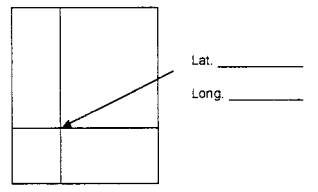
- Locate that same point by UTM
coordinates: ____________E
____________N
- Is this
point visible to a person standing due west at the edge of the map?
_____
- How far away would that point be
from the person? __________ft _________mi
- What is the slope gradient between
that point and the nearest hilltop or mountain peak in feet per mile?
________________________________________________________________
- BONUS: State the full US Public Land Survey Grid description of
the point in # 9 to the nearest ¼ of a ¼ section.
____________________________________
Directions: Make
a topographic map by contouring the following points carefully, draw the
profile C- C, and answer the questions, which pertain to the map you have made.
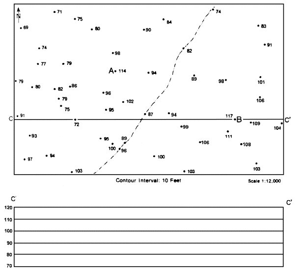
1. What
is the verbal scale of this map?___________________________________
2. What is the distance in feet from A
to B? ________ feet
3. Place a ‘W’ on the map to show where
you would expect a vertical cliff or waterfall.
4. What area has the flattest (least
sloped) terrain?________________________________
5. What is the total relief of the C-C’
profile? _______ feet
6. In
which direction does the stream flow across the map? __________________________
7. Do
you have a direct line of site between points A and B? ________
PRACTICE STRUCTURE QUIZ
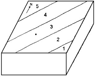
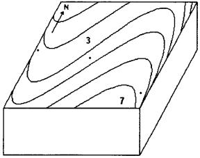
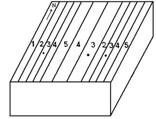
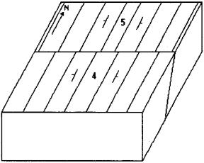 1.
1.